Winter Storm Warnings are predicted for areas inland from Northwest Virginia to much of Western and Central Maryland, Central and NE Pennsylvania, and Northern New Jersey. The warning was also issued for regions of Northern New Jersey mainly along and north of Route 80, the Hudson Valley, much of Connecticut except the south coast, Catskills, Hudson Valley, and much of Upstate NY and much of New England.
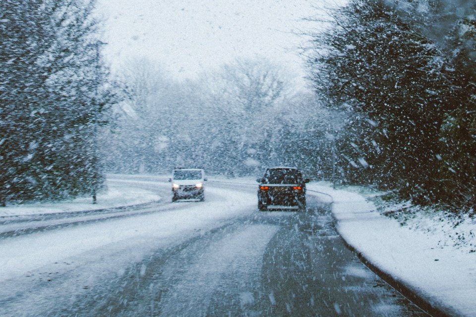
Snow forecasts have been shown on the National Weather Service. Forecasters predict that there will be a heavy winter storm with a mix of ice and snow to the parts of the East Coast over the weekend which holds the potential to cause difficulty in travel and power outages.
Photo National Weather service
It’s been predicted that there could be an inch of snow coating along the coast from Long Island to NYC and south to Trenton and Philadelphia. Some models are battling over showing a warmer atmosphere or a colder atmosphere. But here we are leaning more towards the warmer solutions and choosing to keep an eye on observations and radars.
Precipitation is expected to advance northward on the radars and can arrive later this afternoon from southwest to northeast. There could be a rain affair in the Long Island to Coastal and Southern New Jersey but there could be snow in the evening and overnight in Long Island. It is needed to keep an eye on a couple of variables. First, warmer solutions create lower amounts to the north and northeast of the coast and second one is that quick burst of heavy snow which is capable of creating quick surprises at the onset that cools the atmosphere down.

Photo by National Weather Service
The last one is the NAM 3km model and some other models predict that there could be a change to snow on the backside Sunday as the low moves eastward. Predictions made by models are still very much unreliable, so it is unclear whether it happens to the extent as models predict.
A major storm is predicted to bring heavy rain, snow, up roaring winds, and a risk for flooding from heavy rain and melting snow and coastal flooding later on Tuesday to Wednesday.


