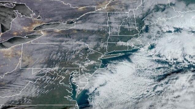
Tropical Tidbits 18Z NAM 12/9/23Photo byTropical Tidbits
Good evening everyone. We’re watching the latest models very closely as they paint a cold and stronger solution with our expected storm.
So far everything remains on schedule in terms of rain and wind, with rain developing tomorrow, becoming heavier overnight. Flood watches in effect reflect this concern. We could also see a rumble of thunder during the heaviest rain.
It is early Monday morning that is becoming a concern in terms of a possible changeover to snow before departing the area. The biggest concern for the changeover will be NW NJ, NE PA, and upstate NY. Howwever, things are looking interesting for New York City and Long Island as well. If NYC and LI change over, this may equate into a period of heavy snow inland.
We will cotinue to watch the models and look for any subtle changes. For the time being, prepare for a possible dicey commute Monday morning for those commuting to work or school.


